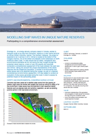
Modelling ship waves in unique nature reserves
In order to help Enbridge Inc. – a Canadian energy delivery company – attain overall project approval to transport crude oil to a new marine terminal in Kitimat, British Columbia, DHI conducted a comprehensive environmental assessment to assess the potential impact of ship waves on the surrounding areas.
 Named ‘The Northern Gateway’, the project is expected to be in service in 2019. Kitimat is located at the bottom of the Douglas Channel, one of the widest and deepest inland waterways on North America’s West Coast. To help ensure that all safety, navigational and environmental standards will be met during the ship voyage through the protected nature reserve, a team of over 200 experts and scientists conducted a comprehensive assessment of the route between the open sea and Kitimat.
We developed a wave transformation model that predicts the spatial variation of characteristic wave heights, wave periods and wave directions – thereby describing the severity of the wake wash along the shores. For comparison, the naturally occurring wind-waves were also modelled.
The modelling included simulations for loaded Very Large Crude Carriers and tugs. The waves generated by the vessels were modelled by FORCE Technology using Computational Fluid Dynamics (CFD) modelling, and the wave transformation towards the shore was modelled by MIKE 21 SW.
The work we did was part of a comprehensive environmental impact assessment made to support the approval of the overall project. After weighing all the findings of this most comprehensive environmental and scientific review in Canadian history, a Joint Review Panel of the National Energy Board and the Canadian Environmental Assessment Agency provided its positive recommendation of the project.
Read more